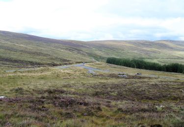
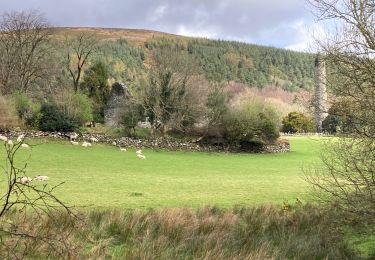
9,2 km | 14,6 km-effort
glendalough
bena42
Benutzer
Länge
5,6 km
Maximale Höhe
212 m
Positive Höhendifferenz
128 m
Km-Effort
7,3 km
Min. Höhe
130 m
Negative Höhendifferenz
128 m
Boucle
Ja
Erstellungsdatum :
2023-02-14 13:13:51.734
Letzte Änderung :
2023-02-14 14:53:56.181
1h39
Schwierigkeit : Medium
Kostenlosegpshiking-Anwendung
Über SityTrail
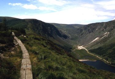
Tour Wandern von 5,6 km verfügbar auf Unbekannt, County Wicklow, The Municipal District of Wicklow. Diese Tour wird von bena42 vorgeschlagen.
Ort
Land:
Ireland
Region :
Unbekannt
Abteilung/Provinz :
County Wicklow
Kommune :
The Municipal District of Wicklow
Standort:
Brockagh
Gehen Sie:(Dec)
Gehen Sie:(UTM)
679290 ; 5876886 (29U) N.
Kommentare
Touren in der Umgebung
Spinc and Glenealo Valley
Zu Fuß
Einfach
The Municipal District of Wicklow,
Unbekannt,
County Wicklow,
Ireland
3h 19min
Ja
Saint Kevin's Way
Zu Fuß
Einfach
The Municipal District of Wicklow,
Unbekannt,
County Wicklow,
Ireland
6,6 km | 10,2 km-effort
2h 19min
Nein
Glendalough
Wandern
Medium
The Municipal District of Wicklow,
Unbekannt,
County Wicklow,
Ireland
9,4 km | 13,7 km-effort
2h 21min
Ja
Glendalough
Wandern
Medium
The Municipal District of Wicklow,
Unbekannt,
County Wicklow,
Ireland
9,6 km | 14 km-effort
2h 59min
Ja
Mountain Hike from Glendalough car park
Wandern
Sehr leicht
The Municipal District of Wicklow,
Unbekannt,
County Wicklow,
Ireland
17,2 km | 26 km-effort
6h 1min
Ja
The Brockaghs and St Kevins Road
Wandern
Sehr leicht
The Municipal District of Wicklow,
Unbekannt,
County Wicklow,
Ireland
16,7 km | 25 km-effort
Unbekannt
Ja
glendalough outer circuit
Wandern
Sehr leicht
The Municipal District of Wicklow,
Unbekannt,
County Wicklow,
Ireland
21 km | 33 km-effort
Unbekannt
Ja
Camaderry
Andere Aktivitäten
Sehr leicht
The Municipal District of Wicklow,
Unbekannt,
County Wicklow,
Ireland
8,8 km | 15,8 km-effort
Unbekannt
Ja
Camaderry
Andere Aktivitäten
Sehr leicht
The Municipal District of Wicklow,
Unbekannt,
County Wicklow,
Ireland
12,6 km | 20 km-effort
Unbekannt
Ja